The Lower Farmington River presents a sharp contrast to its upper reaches in Massachusetts and northern Connecticut. The upper river is generally narrow, swift, and steep-sided, but as it reaches the beginning of the Lower Farmington River’s Wild & Scenic segments, where the river fronts on Avon to the east and Burlington to the west, the river broadens and slows. It flows southeast toward the lowlands of Farmington. In mid-Farmington, the river’s route is blocked by glacial deposits, forcing its turn sharply north, traversing Avon and Simsbury along an ancient lakebed. This reach of the river is called the “bathtub” because of its relatively placid flow and broad valley, bounded on the east by a traprock ridge. At Tariffville in Simsbury, the river dramatically exits the “bathtub,” punching southeast through a notch in the ridge in a short whitewater stretch, the site of various whitewater paddling competitions. The river then meanders through Bloomfield, East Granby and Windsor before finally entering the Connecticut River (see Figure 6: Elevation and Topography).
A journey downstream along the Lower Farmington River corridor reveals a remarkable array of natural, recreational, and cultural features. Downstream from Canton, the Farmington forms the boundary between Burlington and Avon. It then angles into the town of Farmington. Along this stretch the river provides excellent recreation. A CT DEEP Trout Management Area extends from below the Lower Collinsville Dam in Canton to the Route 4 Bridge in Farmington and attracts many anglers. The Farmington River Trail, a very popular multi-use rail trail, runs along this same reach.
In Farmington, as the river turns from southeasterly to northerly flow, it is joined by a major tributary, the Pequabuck River. Here the corridor passes through broad, rich lowland that borders extensive wetlands, and features a number of archaeological sites, recreational trails, agricultural fields, and community gardens. The names of several tracts of open space along the river in Farmington and north into Avon, e.g. Tunxis Mead, Meadow Land, Tunxis Plantation, and Fisher Meadow, indicate the river’s extensive floodplain, still relatively undeveloped despite the area’s long history of settlement.
Continuing northward through Simsbury along an old glacial lakebed, the river corridor skirts the base of the traprock ridge that includes Talcott Mountain (see Figure 8: Traprock Ridges). On either side of the main channel, old oxbows and meander scars are scattered through farmlands and wetlands. Placid flow, easy access points, abundant open space, and many wildlife viewing opportunities make this a favorite stretch of the river for canoeing, kayaking, and rowing as well as fishing. The Farmington Canal Heritage Trail, commemorating one of the most remarkable engineering projects of the nineteenth century accompanies this stretch of the river.
At the far northern end of the “bathtub” in East Granby, the Farmington is joined by Salmon Brook, arguably the most important tributary of the lower Farmington for its high-quality resources. The corridors of Salmon Brook’s East and West Branches and its mainstem have a higher percentage of forest cover than that of the lower Farmington. The forested land provides water filtration, shade, and tree debris to the Brook, resulting in clean, cold water, good fish habitat, and excellent angling. (see Figure 4: Land Cover)
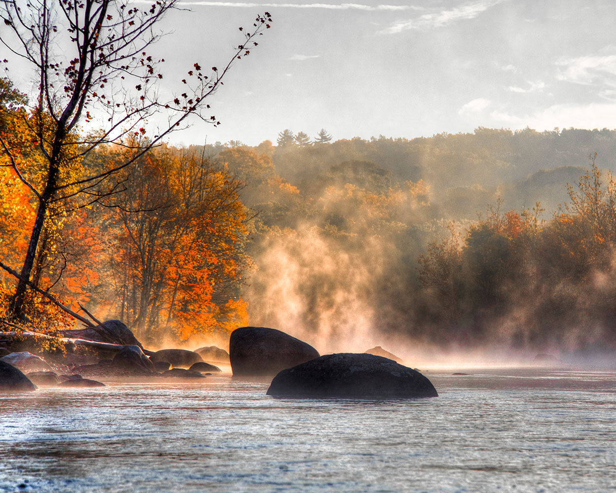
After the confluence with Salmon Brook, the Farmington River turns southeast again, along the East Granby/Bloomfield town line, and its character changes abruptly to world-class whitewater as it charges through the traprock ravine known as Tariffville Gorge. Once a site of hydropower generation for Hartford, the Gorge is now a destination for top-level whitewater kayakers from all over North America.
Below the Gorge the river enters the impoundment behind Rainbow Dam, a present-day hydropower facility owned by Stanley Black & Decker and operated by the Farmington River Power Company. Below Rainbow Dam and its fish ladder, the river winds between natural levees and belts of riparian forest along the historic tobacco fields of Windsor before finally joining the Connecticut River.
Lower Farmington River and
Salmon Brook Wild & Scenic
749 Hopmeadow Street
Simsbury, CT 06070
P: 860-658-4442 ext. 203
F: 860-651-7519
EMAIL
