The Management Plan is the document that informs the work of LFSWS. Developed by the Wild & Scenic Study Committee with input from many experts, it was reviewed by the LFSWS Partner towns in its draft form. It describes the Wild & Scenic Committee’s organization and roles and offers descriptions of each of the “Outstandingly Remarkable Values” (ORVs), the regionally or nationally significant resources that made the river and brook eligible to be designated as Wild & Scenic. Significantly, the Plan gives protection priorities for each ORV, describes current protection measures already in place as well as known gaps in protection and presents actions, tools and strategies to achieve the protection priorities.
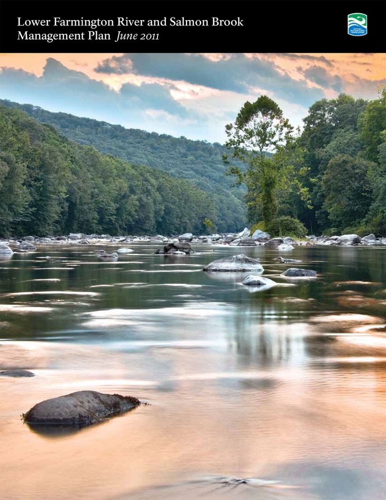
Lower Farmington River and Salmon
Brook Management Plan June 2011
- Lower Farmington River and Salmon Brook Management Plan, June 2011 (Full Report)
- Introduction and Table of Contents
- Executive Summary
- Chapter 1
- Chapter 2
- Chapter 3
- Chapter 4
- Chapter 5
- Chapter 6
- Chapter 7
- References and Resources
Management Plan List of Figures
INTRODUCTION
- Figure 1 General Location and Study Towns
- Figure 2 Potential Wild and Scenic Segments
- Figure 3 Potential Upper Farmington River Wild and Scenic Boundary and Extension
- Figure 4 Land Cover
- Figure 5 Land Use
- Figure 6 Elevation and Topography
GEOLOGY
- Figure 7 Generalized Bedrock Geology
- Figure 8 Traprock Ridges
- Figure 9 Tariffville Gorge
- Figure 10 Quaternary Geology
- Figure 11 Glacial Lakes
- Figure 12 Sand Plains and Inland Dunes
- Figure 13 Windsor Soil Series
- Figure 14 Prime and Statewide Farmland Soils
- Figure 15 Steep Slopes
- Figure 16 Aquifer Protection Areas
WATER QUALITY
- Figure 17 Major Tributaries
- Figure 18 State Water Quality Classifications
- Figure 19 Local Basin Percent Impervious
BIOLOGICAL DIVERSITY
- Figure 20 Ecoregions
- Figure 21 Critical Habitats and Potential Vernal Pools
- Figure 22 Alluvial Floodplain Critical Habitat Subtype Communities
- Figure 23 Floodplains and Riparian Buffers
- Figure 24 Endangered, Threatened, or Special Concern Species
- Figure 25 Integrated Natural Resources Values
- Figure 26 Study Bird Observation Locations & Known Focal Bird Species
- Figure 27 Land Cover Changes from 1985 to 2006
CULTURAL LANDSCAPE
- Figure 28 Prehistoric Archaeological Sites
- Figure 29 Potential Archaeological Sensitivity Areas
- Figure 30 National Register of Historic Places and Farmington Canal
- Figure 31 Existing Agricultural Land and Prime Farmland Soils
RECREATION
- Figure 32 Open Space/Parks/Recreation Properties
- Figure 33 Greenways and Access Points
- Figure 34 Scenic Viewshed Analysis
- Figure 35 Tariffville Gorge Aerial
Appendices and Supporting Documentation*
APPENDIX 1 – GEOLOGY
APPENDIX 2 – WATER QUALITY
- CT DEP Water Quality Information, Beauchene letter
- FRWA Water Quality Monitoring Program
- Low Impact Development Management Strategy Recommendations, CT DEP
- Forest, Water and People, Drinking Water Supply and Forest Lands in Connecticut, USDA
APPENDIX 3—BIOLOGICAL DIVERSITY
- Table 1: CT DEP Natural Diversity Database Species Observed Within the Study Corridor
- Table 2: Migratory Bird Survey Results Mussel Management Plan Executive Summary
- Lower Farmington River Mussel Summary Chart
- Farmington River Floodplain Forest Habitat
- FRWA 2002 Biodiversity Project Rare Plan and Natural Community Inventory Summary Report
APPENDIX 4—CULTURAL LANDSCAPE
- Archaeological Assessment of the Lower Farmington River and Salmon Brook
- Historic and Cultural Landscape Background Report
- Native Americans of the Farmington Valley Background Report
- National Register of Historic Places
APPENDIX 5—RECREATION
- Use and Economic Importance of the Lower Farmington River and Salmon Brook
- Officially Designated Greenways
- Public Access Report
- Potential Town Recreation Projects Summary
APPENDIX 6—OUTSTANDING RESOURCE VALUES
APPENDIX 7—DAMS AND IMPOUNDMENTS
- Dam List of the Lower Farmington and Salmon Brook
- Tariffville Gorge —Hydrologic Study I, Princeton Hydro Engineering, PC
- The Rainbow Dam and the Lower Farmington River: Legal Status, History and Physical Condition, Eric Lukingbeal
- Pre-Feasibility Study for Re-Powering the Upper and Lower Collinsville Dams along the Farmington River, GZA Environmental, Inc.
APPENDIX 8—EXISTING REGULATORY AND PLAN PROTECTION REVIEW
- State and Federal Regulations Review
- Municipal Plan and Regulation Review
- Municipal Plan and Regulation Review: State of CT Statutes
- Town of Hartland Correspondence Regarding Regulation Review
APPENDIX 9—LAND TRUST SURVEY
APPENDIX 10 —LAND USE LEADERSHIP ALLIANCE WORKSHOP
- Workshop Participant List
- Agenda from Four-Day Workshop Day 1, Day 2, Day 3, Day 4
- Lower Farmington and Salmon Brook Management Issues List
*Also see Study Report Appendices for the Federal Wild & Scenic Study Bill, Connecticut legislation supporting Wild & Scenic designation, letters of endorsement and support, and examples of outreach and education conducted during the Wild & Scenic Study.
Lower Farmington River and
Salmon Brook Wild & Scenic
749 Hopmeadow Street
Simsbury, CT 06070
P: 860-658-4442 ext. 203
F: 860-651-7519
EMAIL
